
The WFMY Weather Team is tracking the possibility of a little winter weather early Wednesday morning. Right now, this doesn't appear to be a "winter storm" across the Piedmont, but slick spots can't be ruled out for the Wednesday morning commute. The most likely precipitation type will be freezing rain during this time frame.
ALERTS:
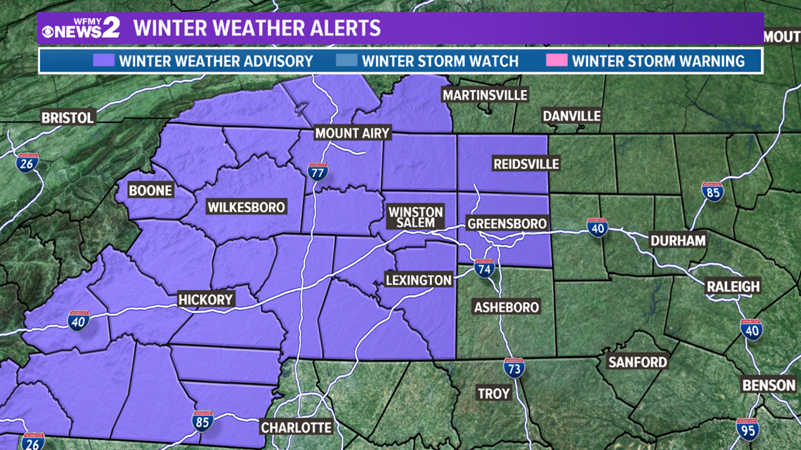
A Winter Weather Advisory is in place through Wednesday morning, with the main concern being slick bridges early.
IMPACTS:
Conditions will improve rapidly through the morning, with highs Wednesday afternoon ending up in the upper 40s to low 50s.


TIMELINE:
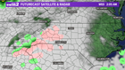
Here's the time line for the precipitation: After midnight Wednesday morning, light moisture will begin to move into the area.
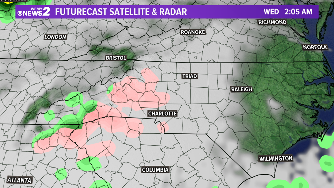
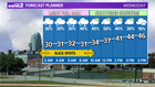
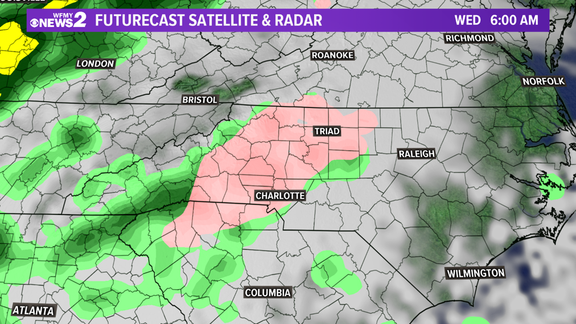
By 6am, the light freezing rain will become more widespread. A light glaze will be possible, especially on elevated surfaces and bridges. Temperatures will be in the upper 20s to low 30s at this point.
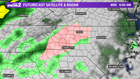
Temperatures will warm above freezing through the morning, so by 9 or 10 am the freezing rain will transition to regular rain showers for the rest of the day.

With the low moisture available Wednesday morning (less than 0.10") and temperatures only staying below freezing briefly (2am-9am), power outages are unlikely. However, we will have to look out for slick spots for the morning commute. As always, with winter weather, a small change in moisture available or temperatures can change the impacts, so it's important that you stay up to date with the latest forecast. We'll keep you updated as necessary both on air and on line.