
SUNDAY
10:19 pm- Here's what to expect overnight and into Monday.
9:12 pm - 9PM Power Outages: 47,000 statewide Forsyth: 20,700+ Rockingham: 6,000+ Stokes: 4,900+ Caswell: 3,000+ Guilford: 2,500+ Wilkes: 660 Yadkin: 490 Surry: 260
8:46 pm- For tonight, bridges could be a minor issue for some patchy black ice. Meteorologist Tim Buckley explained why earlier today.
7:22 pm- Duke Energy says that most customers without power will be restored no later than Tuesday night.
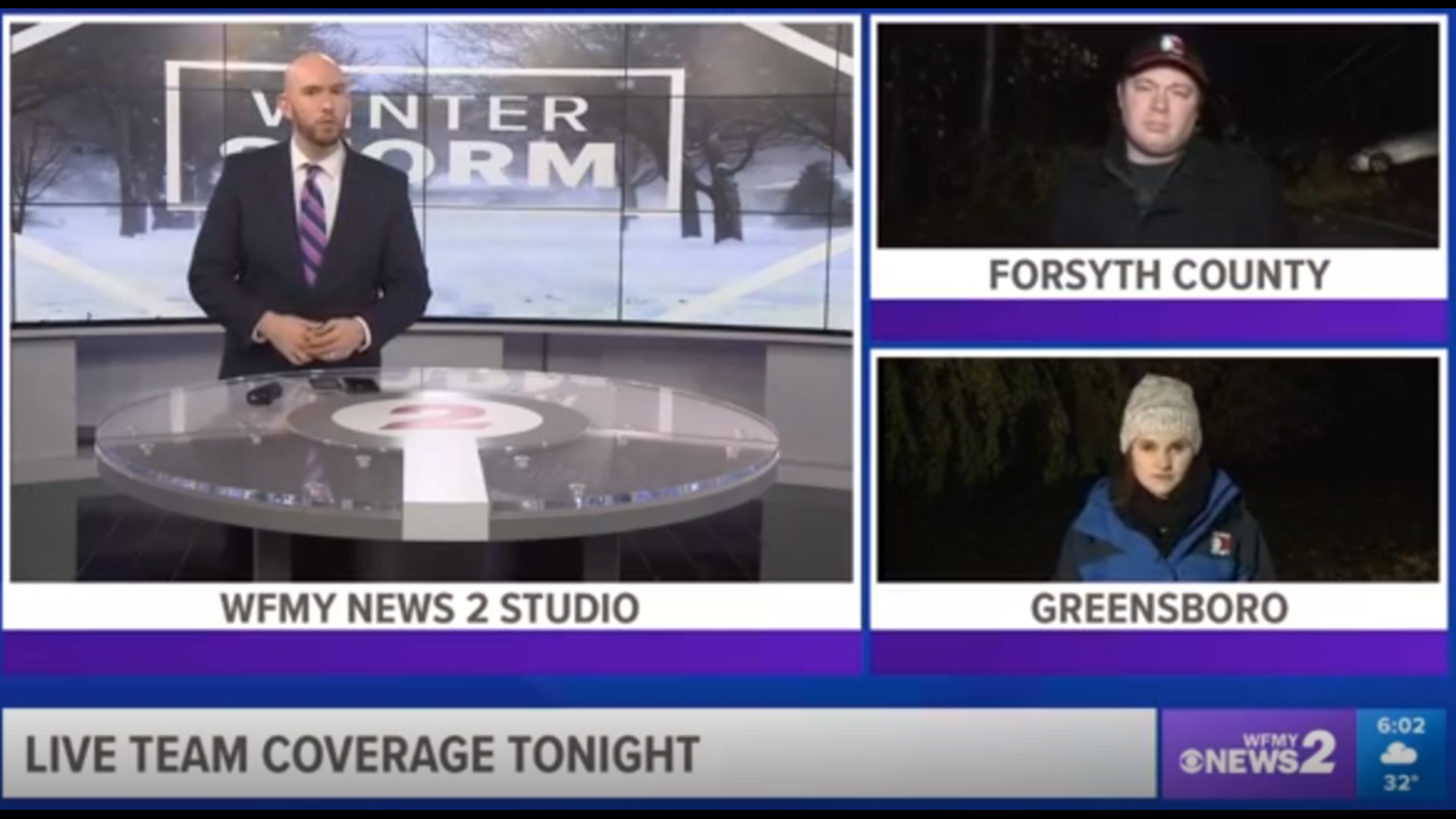
7:21 pm- In case you missed it! Our 'WFMY News 2 6 pm Digital Newscast.' We covered all the latest weather updates plus more.
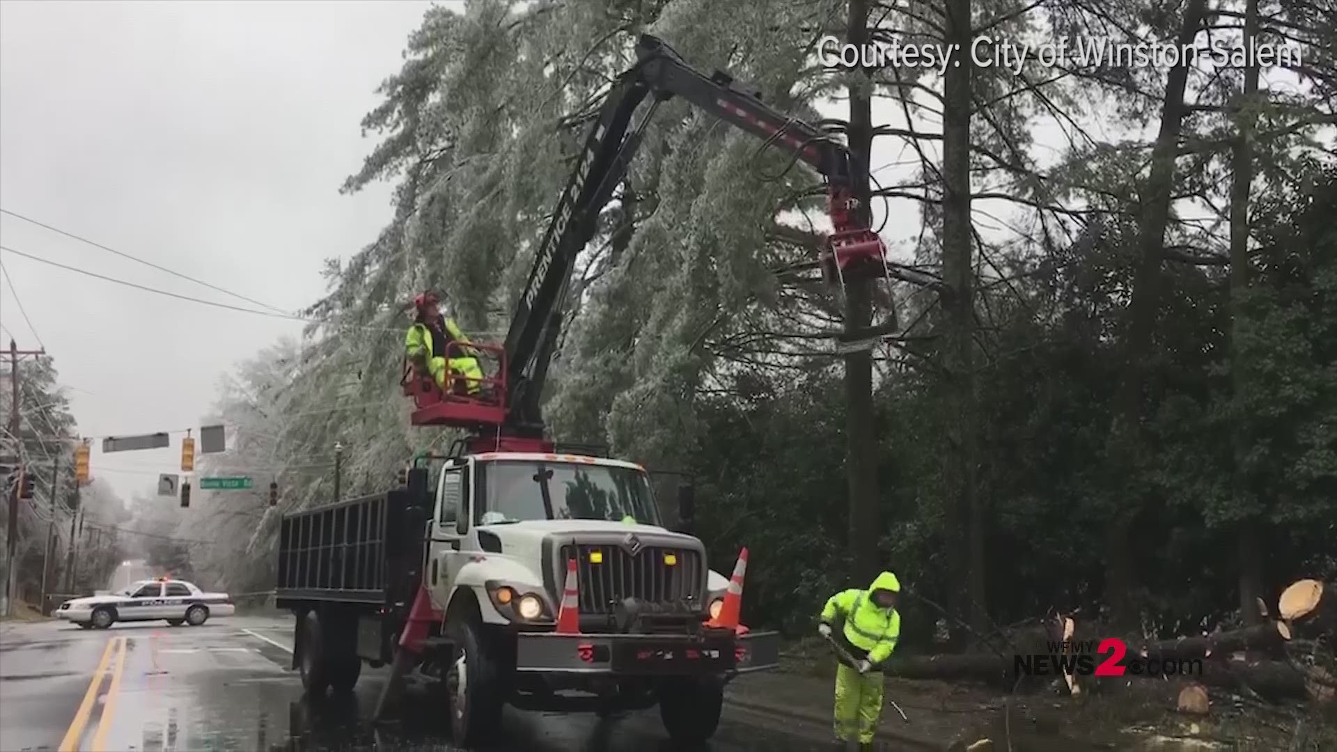
7:00 pm- Winston-Salem crews cleaning up after winter storms brings a lot of ice and causes power outages across Forsyth County.
5:06 pm - Clouds and some drizzle are expected to remain through Monday. Drivers should watch out for slick spots overnight on bridges & overpasses mainly.
4:30 pm- Stokes County Emergency Services has opened an Emergency Shelter at West Stokes High School for those in the area who have lost power. The address is 1400 Priddy Road King NC.


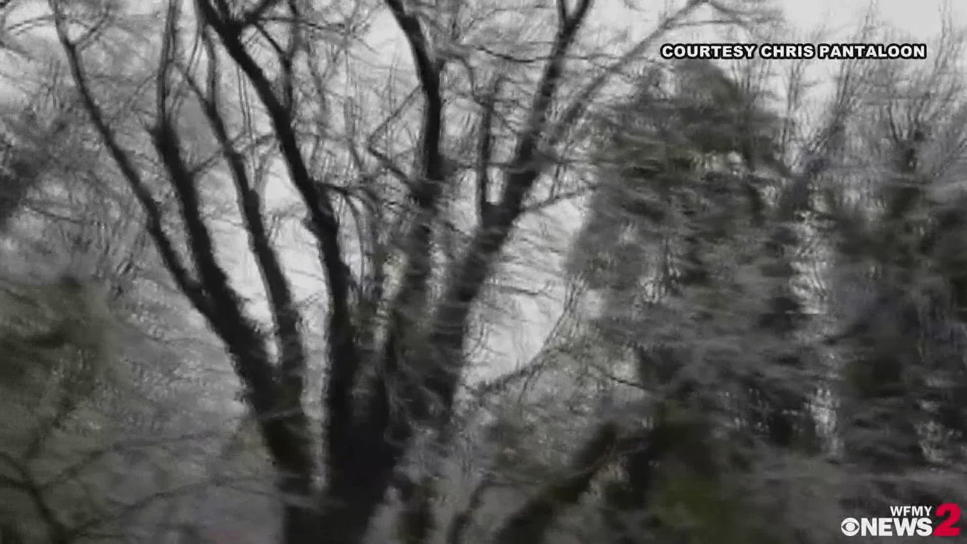
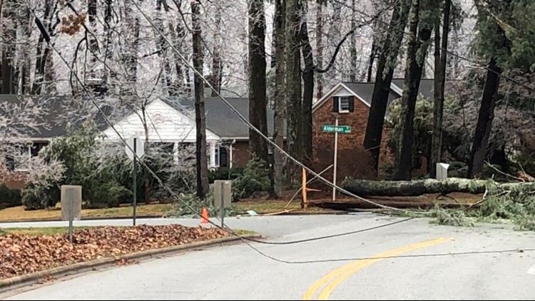
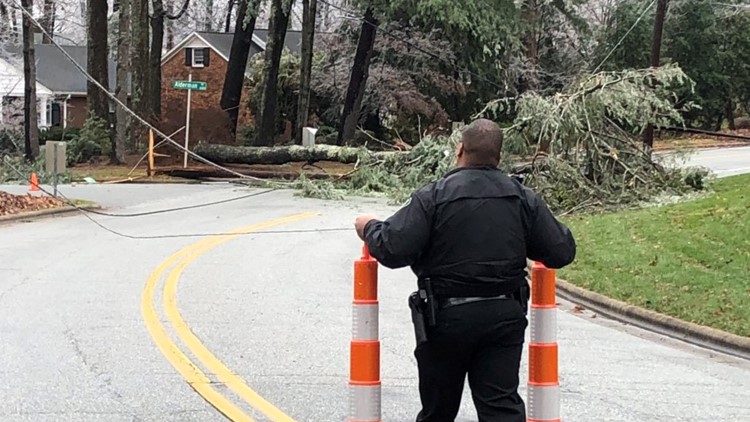
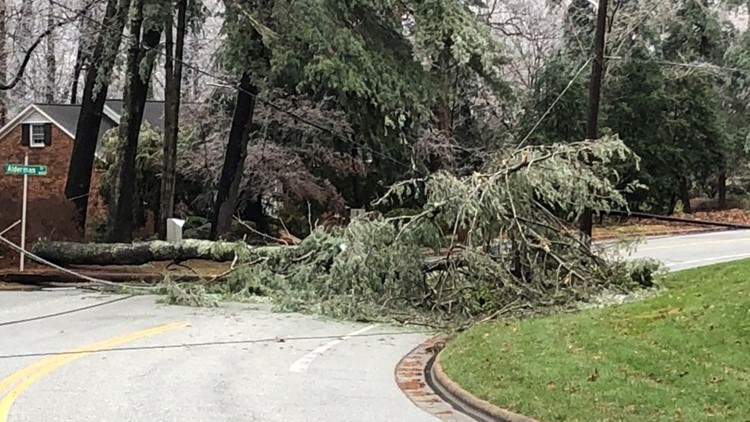
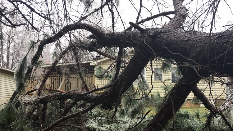
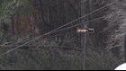
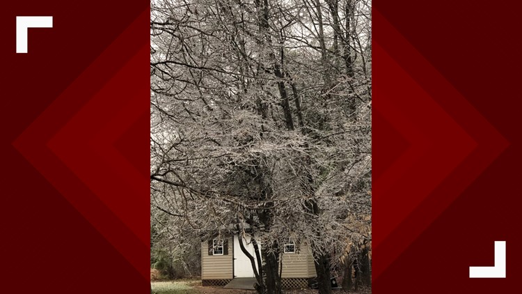
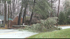
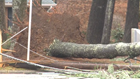
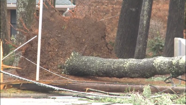
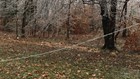
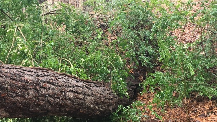
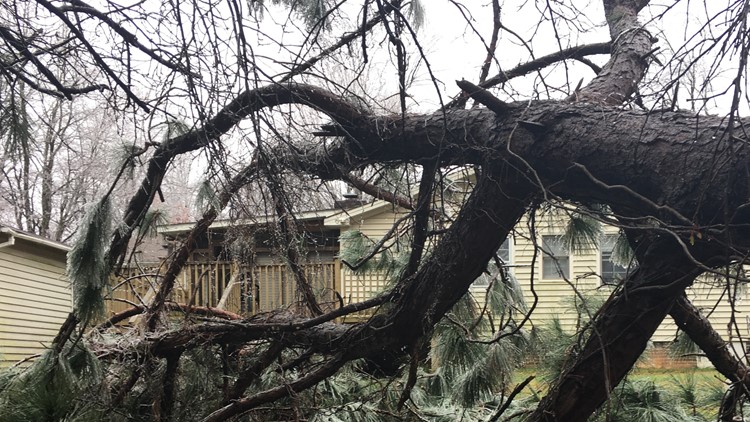
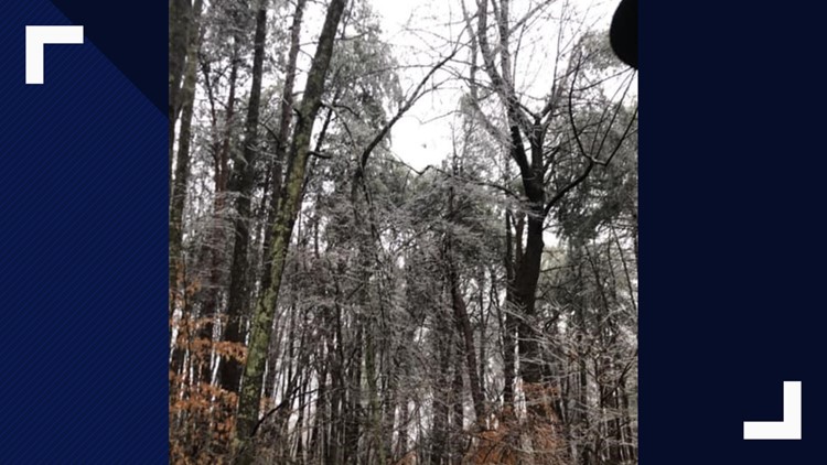
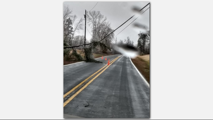
4:10 pm- Several trees in Guilford County are covered with ice. Some are on power lines after falling due to the ice.
4:07 pm- Video | Winter storm causing icy conditions across the triad.
3:38 pm- Crews restoring powerlines on Yanceyville Street & Asher Downs Drive in Greensboro.
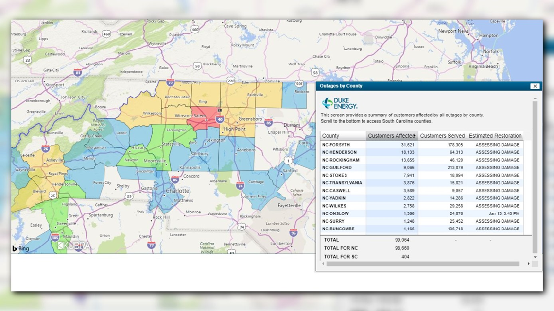
3:10 pm- Power outages as of 3:10 pm, Forsyth still remains the highest county for power outages with 31,621. Henderson: 18,133 Rockingham: 13,655 Guilford: 9,066 Stokes: 7,941 Caswell: 3,589 Yadkin: 2,822 Wilkes: 2,758 Surry: 1,248

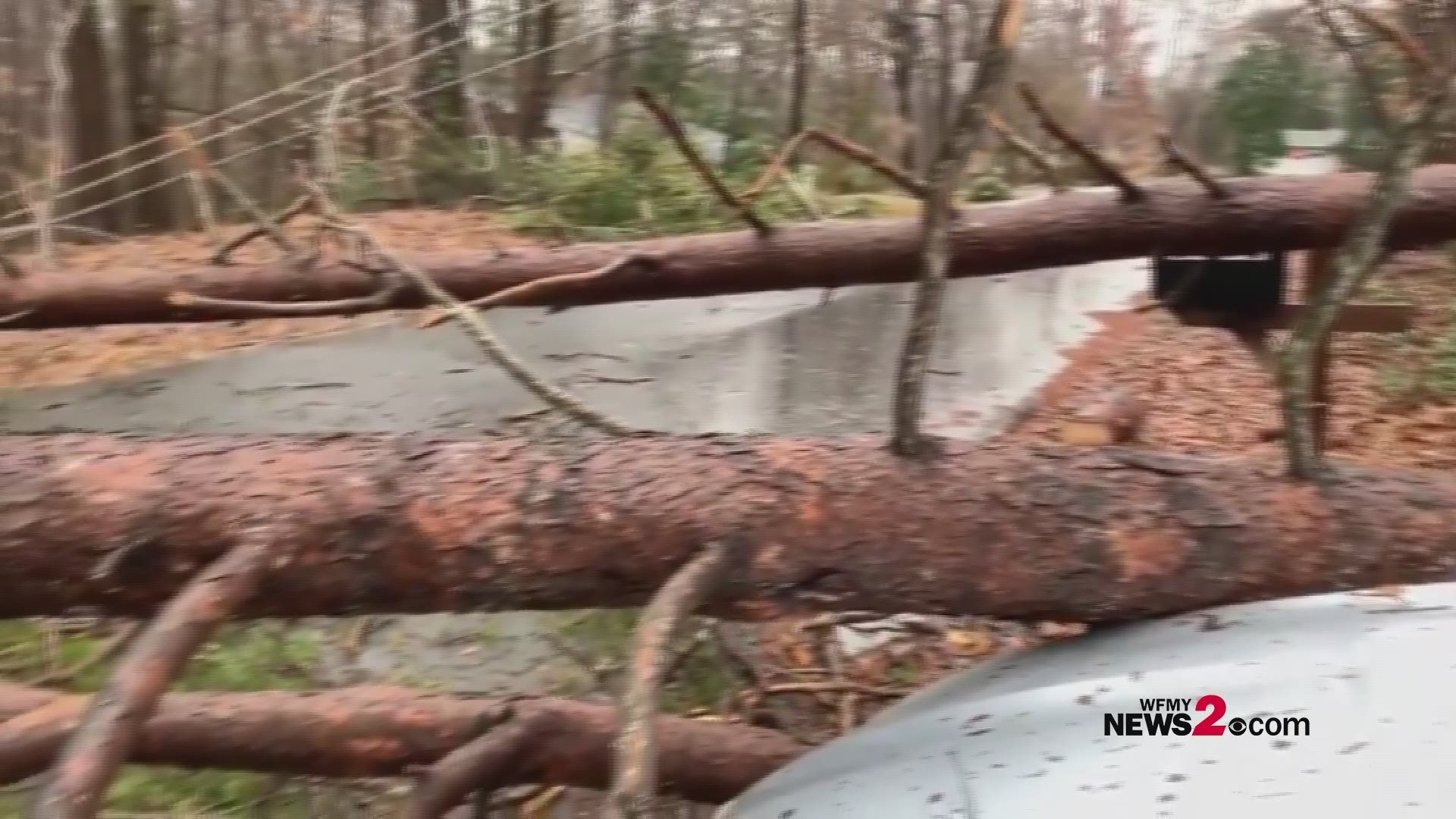
2:47 pm- Several trees down and ice damage in Stokesdale.
2:30 PM - Forsyth County remains highest of power outages at 34,584, Guilford has 17,501, Rockingham County, 16,984, Caswell 3,490, Stokes County reporting 7,099, Wilkes currently has 3,321 and Surry1,385.
12:00 PM Power outages continue to increase as the weight of ice on trees and power lines linger.
11:30 am - Ice covered trees and power lines continue to cause issues in parts of the Triad. Forsyth County still has highest number of outages at 40,000. Forsyth Co. 911 reports number of trees falling on houses across the county.
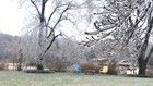
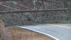
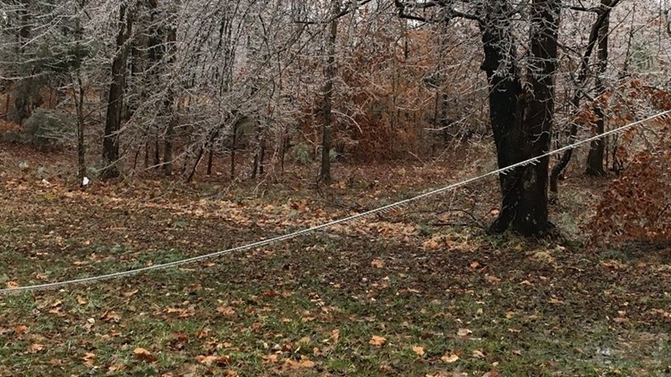
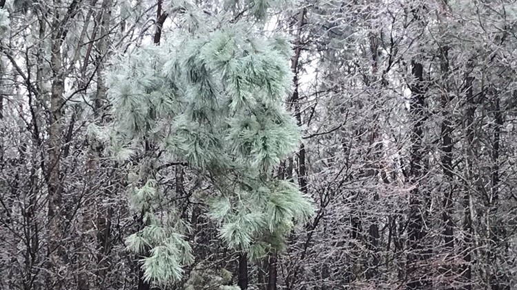
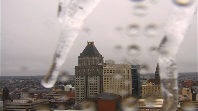
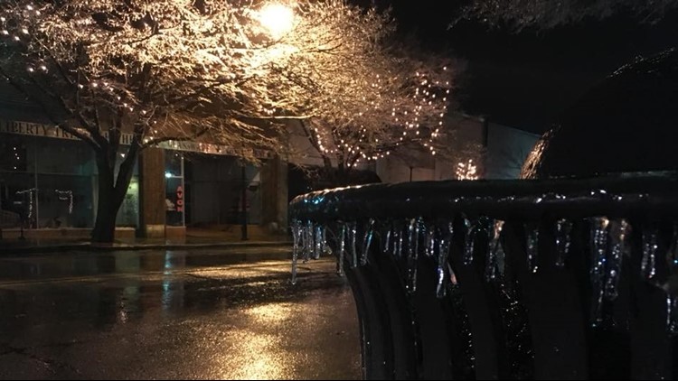
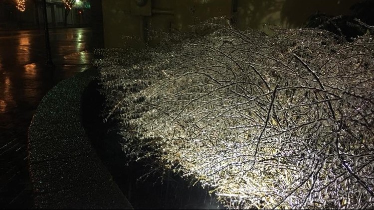
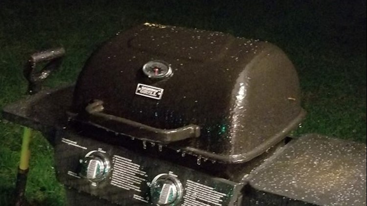
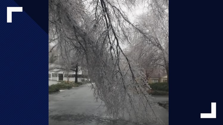
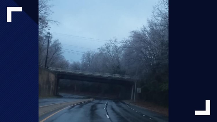
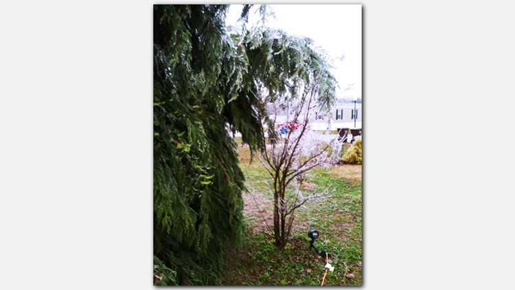
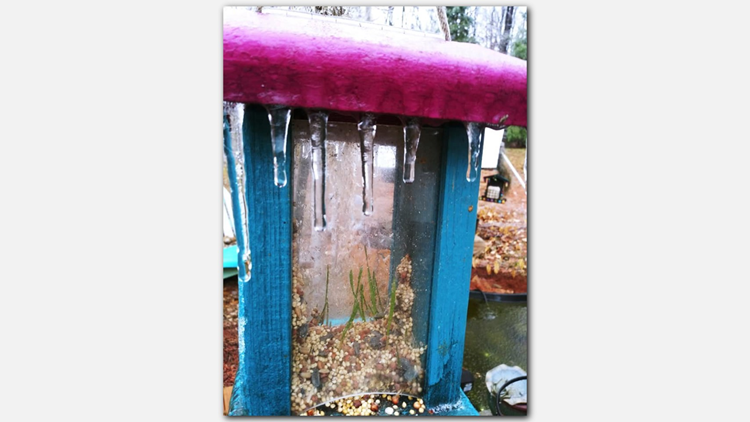
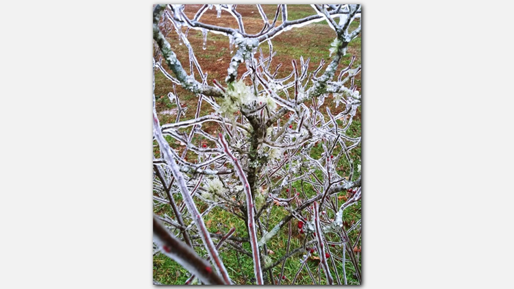
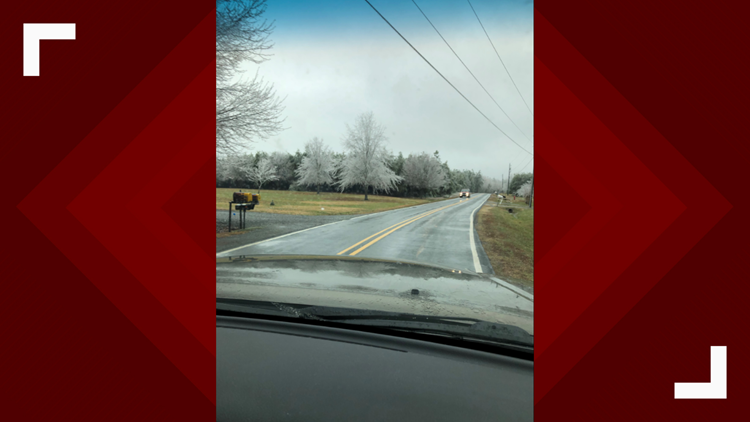
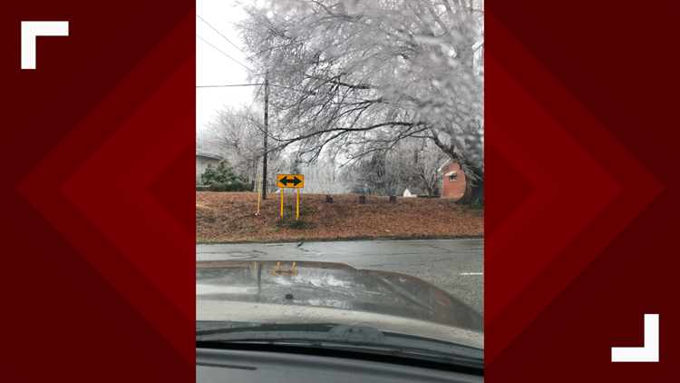
11 am - Some sights around the Triad during this storm.
9:50 am - There are now more than 88,000 power outages in Guilford, Forsyth and Rockingham counties.
9:40 am - Traffic signals are out throughout the area. Be sure to treat these situations as a four-way stop.
9:27 am - Highway 421 in Lewisville has reopened.
9:25 am - Road closures in Belews Creek.
9:15 am - Botanical Gardens, Gillespie Golf Course and the City Lakes are closed in Greensboro Sunday.
9:10 am - Forsyth County now at 43,002 power outages. Guilford County has 24,447 outages.
8:50 am - Winston-Salem officials tweet that road conditions are hazardous and to use extreme caution when driving.
8:35 am - An update from WFMY News 2 Chief Meteorologist Tim Buckley.
8:30 am - Jessica Winters saw trees and power lines down in Greensboro.
8 am - Trees and power lines down in Belews Creek this morning. Here's an update from Pine Hall Road.
7:20 am - Highway 421 is closed in both directions from Williams Road to Lewisville Clemmons Road.
7:15 am - Forsyth County now with more than 35,000 power outages. Guilford County has more than 10,000.
7 am - The Winston-Salem Fire Department is helping move trees across roads.
6:35 am - Power outages are a big problem this morning, with more than 30,000 in Forsyth County. Guilford County currently sits at more than 9,100 outages. Big pockets of outages are being reported around Lake Jeanette in Greensboro.
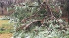
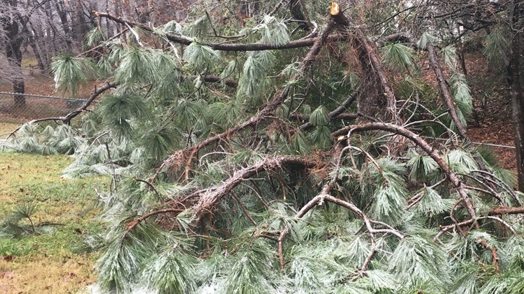
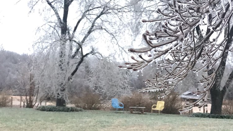
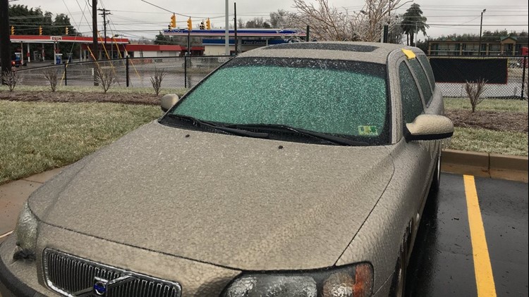
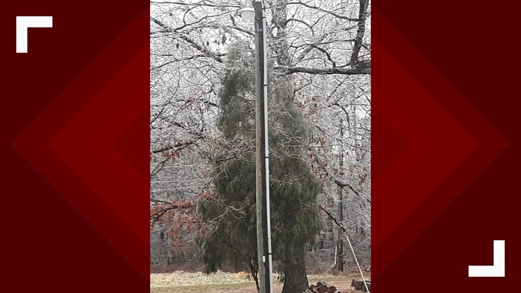
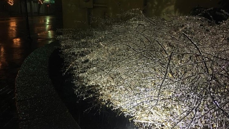
PHOTOS | Ice, Sleet, Freezing Rain Cover Trees, Power Lines Across the Triad


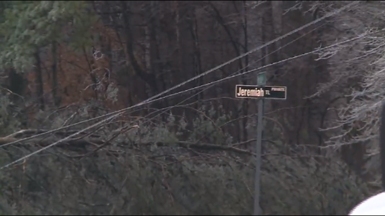


6:10 am - Another downed tree in Forsyth County, this time on Piney Grove Road.
5:50 am - Forsyth County 911 is reporting a downed tree on Suillivantown Road.
5:45 am - The WFMY News 2 weather team says a wintry mix will continue through the morning, then conditions will improve this afternoon.
5:30 am - The state's power outage map shows 21,981 power outages in Forsyth County and 2,861 in Guilford County. Stokes County has 3,003.
5 am - Woah! Check this out from Winston-Salem. An explosion happens after an icy tree leans on a powerline on Old Hollow Road.
SATURDAY
11: 45 pm- Reidsville currently experiencing mostly rain.
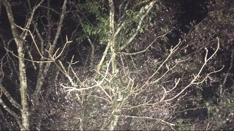
11:38 pm- You can now spot a glaze of ice on elevated surfaces and trees in Greensboro.
11:09 pm- We could actually start seeing more ice in the trees rather than on the roads. Not saying that the roads will be totally clear however so be careful.
10:45 pm- The 'Winter Weather Advisory' has been canceled for Montgomery and Stanly Counties.
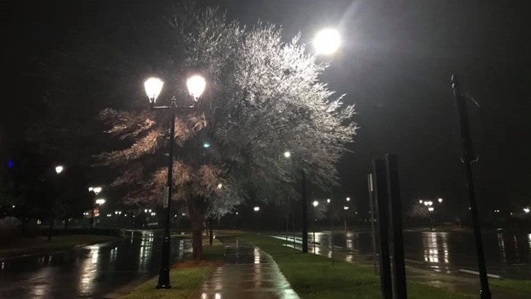
10:00 pm- Sleet captured coming down here at WFMY News 2 studios earlier.
9:44 pm- Ice starting to accumulate in Rockingham County.
8:30 pm- Freezing rain is starting to fall over much of the Triad, mainly north of I-40.
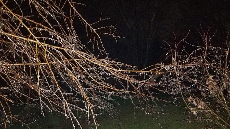
8:13 pm- Freezing rain & sleet in Alleghany County. (Photo: William Bottomley)
7:37 pm- There is already a light glazing of ice in Stokes County. This picture comes from Lawsonville, NC. (Photo: Dwayne Young @NWSBlacksburg)
7:00 pm- Chief Meteorologist Tim Buckley and Meteorologist Terran Kirksey talk about what to expect overnight with freezing rain moving in.
6:41 pm - Temperatures are now starting to reach the freezing mark across the Triad in certain areas.
6:28 pm - Rain and sleet are moving out of Yadkin and Surry counties into Stokes and Forsyth counties.
6:22 pm - Roads are expected to become more slippery as more sleet moves in more steadily in the next couple of hours. Be careful if you have to be out and about.
4:31 pm - Minor adjustment made to the ice totals.
4:30 pm- Sleet is already coming down in parts of Greensboro.
1:30 pm - As we know from last month's winter storm will be nothing like this one. The other was a record setting snow storm. Keyword is SNOW.
This weekend's storm will be all about the ice and freezing rain. BIG DIFFERENCE.
RELATED: This Storm Is Different Than The One In December; Home Hacks To Help You Thaw Back To Normal
Hazardous road conditions, power outages, school closings and changes in the forecast can all bring headaches. We're helping you track this storm.
In the Triad, we'll see a light wintry mix occasionally Saturday, but there won't be many issues. The bad stuff looks to hold off until late Saturday night. It'd be a good idea to stay off the roads Sunday morning if you can.
LOCATION-LOCATION-LOCATION: What you'll see depends on where you are. More than a quarter-inch of ice is likely for several Triad-area counties.
Triad cities started brining roads Thursday and Friday in preparation for the storm.
RELATED: Greensboro Prepares For The Possibility Of Ice, Snow; Duke Energy Crews Anticipate Power Outages
REPORTING OUTAGES
- Duke Energy Progress: 1-800-419-6356
- NC Electrical Cooperatives: 1-888-411-7870
- Energy United: 1-800-386-4833
- Randolph Electric: 1-877-736-2633
- Piedmont Electric: 1-800-449-2667
- Surry-Yadkin Electric: 336-356-8241
- City of Lexington Electric: 336-248-2337
- City of High Point Electric: 336-883-3111
DOWNLOAD NOW: WFMY News 2 App: Apple Users, Android Users
► Make it easy to keep up to date with more stories like this. Download the WFMY News 2 App: Apple Users, Android Users