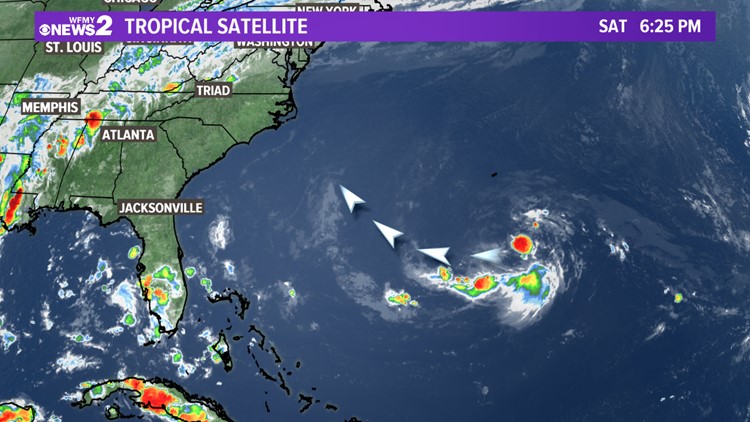
GREENSBORO, N.C. - We're tracking another tropical system that may head towards the East Coast. The good news is that this system is very weak, and isn't expected to stick around long if it does indeed reach the coast.
Contrary to what is going around on social media, this disturbance isn't the same circulation as Florence.
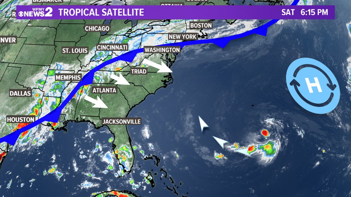
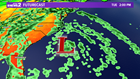
As we go through the next several days, this disturbance, identified as "Invest 91-L" will head WNW towards the coast.

Once it approaches the coast Tuesday into Wednesday, it'll get quickly pushed back away from the coast thanks to a cold front moving into the state.
► Download the WFMY News 2 App: Apple Users, Android Users
If the system produces heavy showers in eastern North Carolina, there could be a limited threat of additional flooding. That's far from a certainty, but it's something to keep an eye on.

As far as the Piedmont is concerned, the cold front will keep any of the rain from that system away from us. Any rain will see this week will be directly related to the nearby cold front.
We'll keep you updated on this system as necessary.