
GREENSBORO, NC -- The calendar date is correct. On March 20 at 12:15 p.m. the Spring season officially started. However, if you were to go by actual weather events you would think otherwise.
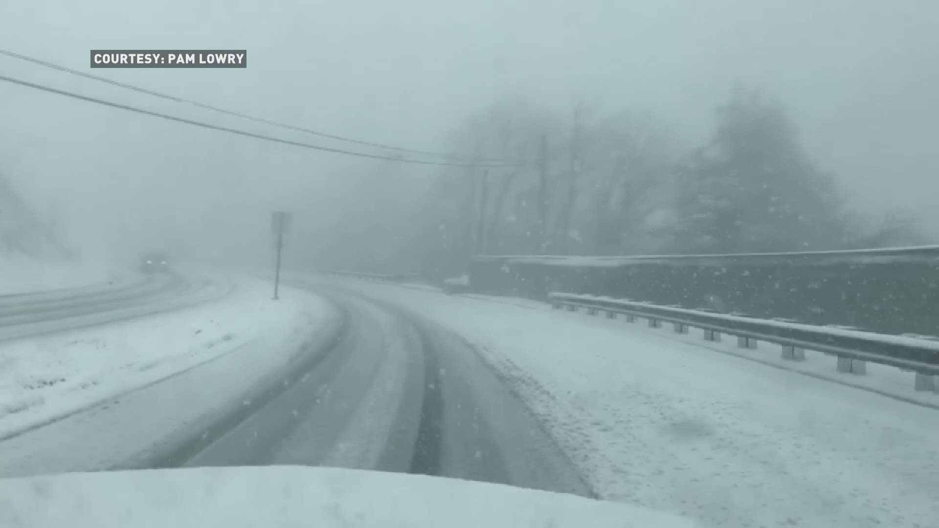
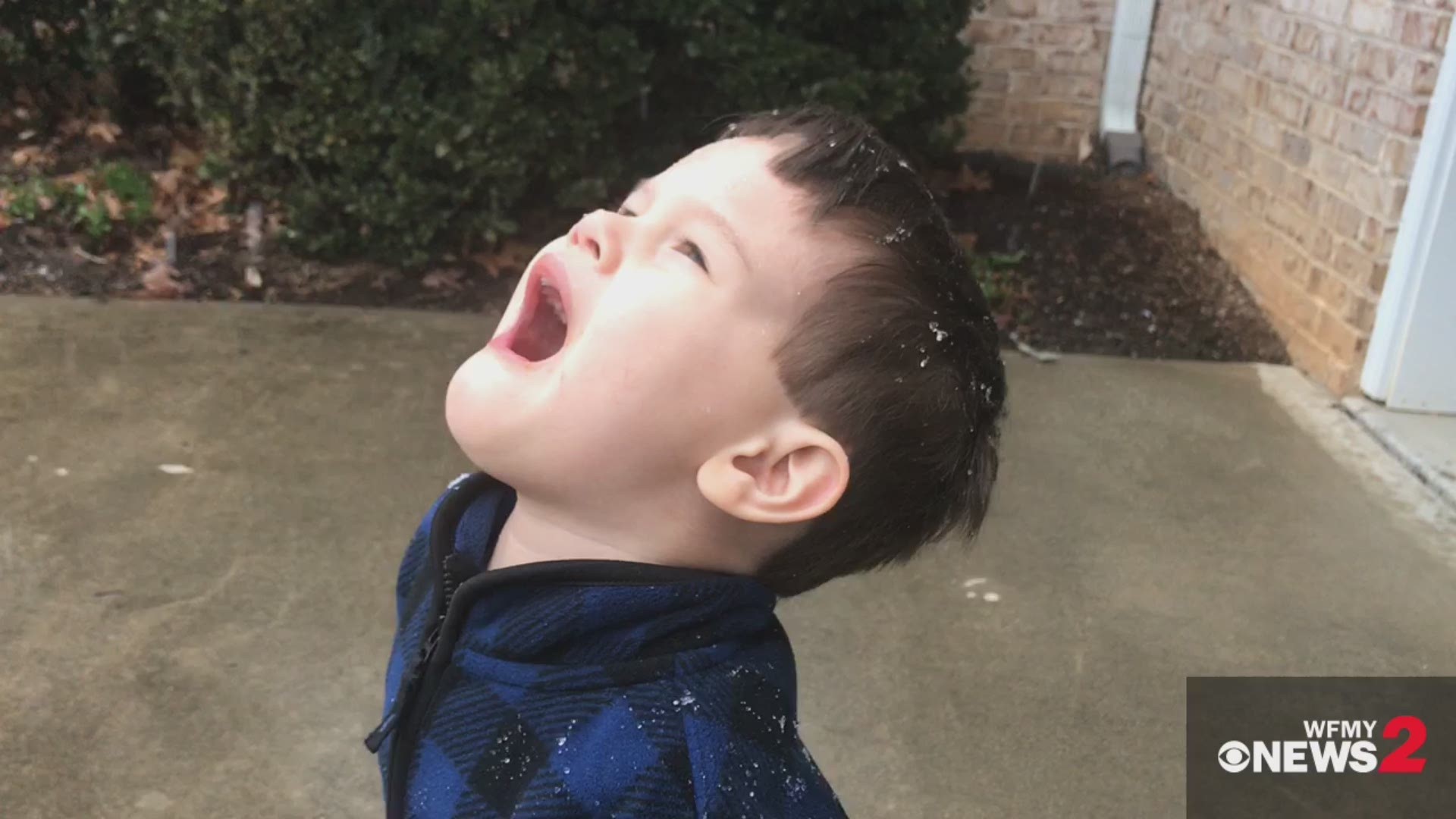
Winter weather has flexed its will on the Piedmont Triad and other parts of North Carolina three times in March 2018 and for the second time in a week. Each time bringing snow, wintry mix, sleet and cold rain.
Western North Carolina also saw a good amount of snow.
The weather didn't stop the March For Our Lives rallies across the state, but did cause the postponement of activities at the Martinsville Speedway. Mainly, because depending on where you live, the snow was anything from a dusting to several inches. Martinsville fell in the several inches column.
Race fans, Clay wanted to speak to you directly about the postponement of the #STP500 and the #AlphaEnergy250 pic.twitter.com/i2uLxhtgQe
PREVIOUS STORY | A tricky winter storm is moved into the Piedmont Saturday. The border between rain and snow will be splitting the Triad, with better snow chances north, and all rain chances south.
As we head through the night Saturday, heavier rain and snow are expected. The rain snow line will sit somewhere in the neighborhood of I-40. The best chance for accumulating snow is to the north, where several inches is possible near the Virginia border. Even more than 5 inches is possible in southern Virginia.
To submit a closing, go to wfmynews2.com/closenow and enter your ID code and password.
In the Triad, along I-40, anywhere from a trace to 3 inches is possible depending on how the system tracks exactly. Farther south, not much snow is expected at all, with only a dusting to at most an inch.
Travel will be slick & slushy in the snowy areas Saturday night and early Sunday morning, but the snow will have a hard time sticking to the roads for a while. However, roads should improve rather quickly during the daylight hours on Sunday. A few scattered power outages are possible if snow is heavy enough in the northern areas.
Much of the snow will melt on Sunday afternoon. There may be a small chance of black ice Monday morning. Warmer next week.