

GREENSBORO, N.C. — A line of strong storms has moved away from the Triad after a busy morning with many tornado warnings across the area. The storm threat is over but flooding concerns still remain.
TIMELINE:
- Tonight: Rain begins to taper off after midnight, flooding still a concern in low lying areas, creeks, rivers.
- Friday morning: Rain exits, but rivers rise.
- Friday afternoon: Clearing out, dry weather, but rivers are peaking
Moisture still streaming in from the Gulf will begin to taper off and conditions will improve heading through the overnight hours. A few showers linger for Friday morning, but it gets windy. Wind gusts near 40 mph are possible through Friday midday which could bring down trees from the saturated ground.


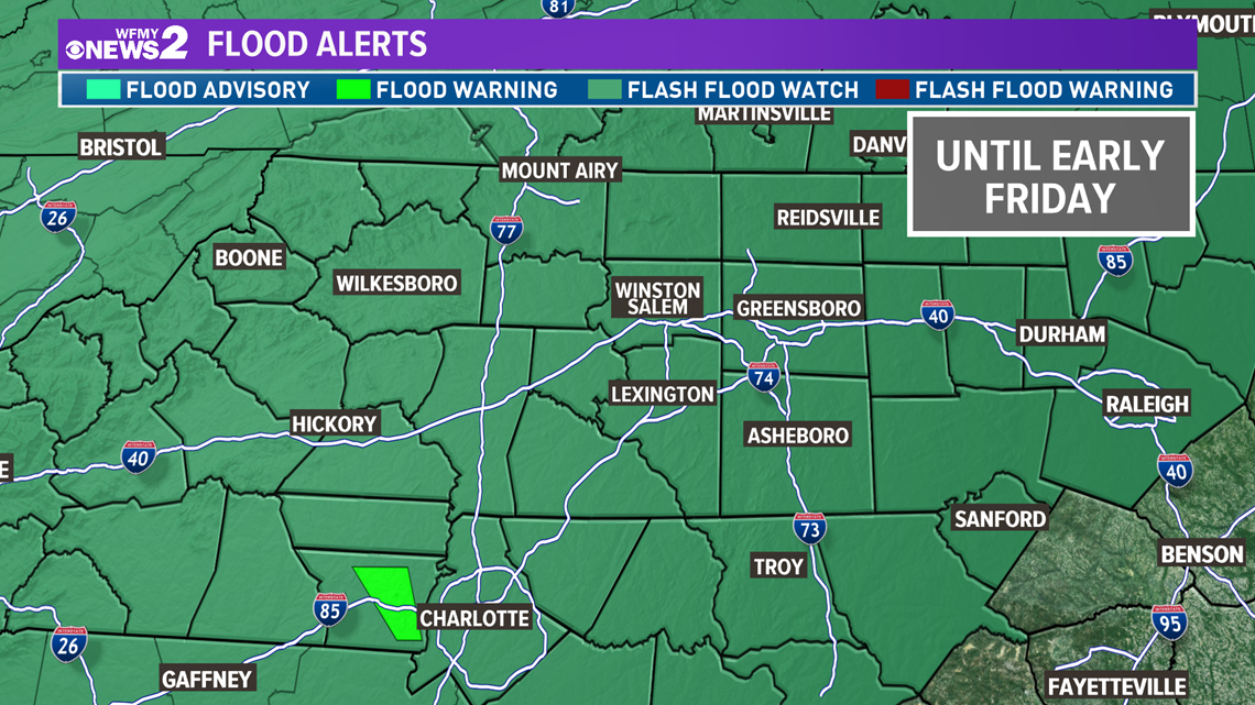
Our area has already picked up 3"+ and could pick up another .5" to an inch in addition before all is said and done. Creeks and rivers are rising - and could remain high for a few days. A flood watch is in effect. Exercise caution if you have to drive and never drive through flooded roadways.
FLOOD THREAT:
Anything over 1 inch of rain is a very wet day. We've already seen over 3". That's similar to what we see in a tropical storm. That's a big deal.

The cold front will move east of our area Friday. Dry and cooler weather is expected for Friday afternoon, although it will be quite windy.