
The National Oceanic and Atmospheric Administration releases an updated public advisory every three hours on major storms in the Atlantic and Pacific Oceans, including Florence. Each update comes with an updated 'Cone of Concern' - or the suspected path for the storm and updated information about intensity and movement.
Find all of that information below, along with helpful links to WFMY News 2 coverage of the storm and its expected impact on the triad.
Hurricane Florence is a major storm headed for the coast of the Carolina.
WFMY 2 WEATHER | What to Expect from Florence in Triad
TRACKING FLORENCE | Extremely dangerous hurricane churns toward Carolina coastline
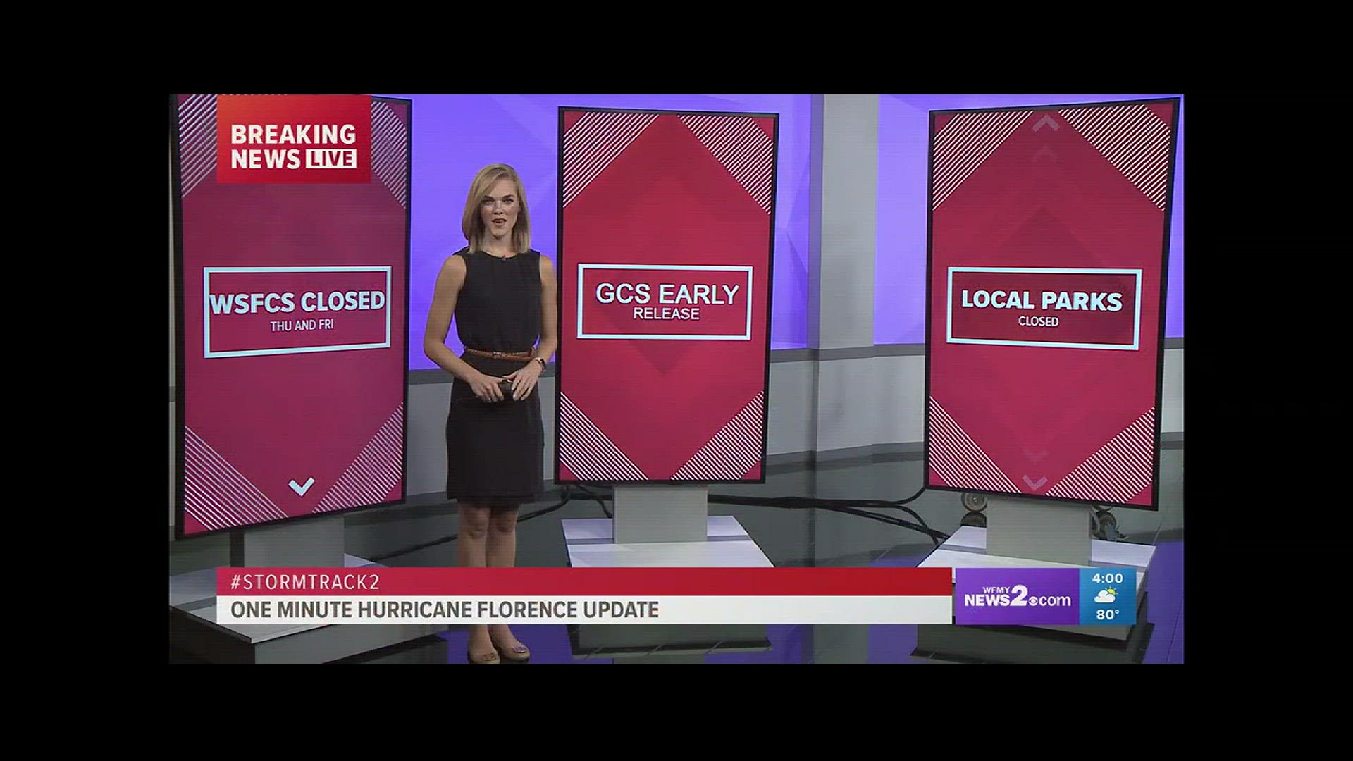
SCHOOL INFO | List of announced closures
► Make it easy to keep up to date with more stories like this. Download the WFMY News 2 App: Apple Users, Android Users
BULLETIN
Hurricane Florence Advisory Number 58
NWS National Hurricane Center Miami FL AL062018
500 PM EDT Thu Sep 13 2018
...HURRICANE-FORCE WINDS GETTING CLOSER TO THE NORTH CAROLINA OUTER
BANKS AND COASTAL SOUTHEASTERN NORTH CAROLINA...
...LIFE-THREATENING STORM SURGE AND RAINFALL EXPECTED...
SUMMARY OF 500 PM EDT...2100 UTC...INFORMATION
----------------------------------------------
LOCATION...33.7N 76.2W
ABOUT 100 MI...160 KM ESE OF WILMINGTON NORTH CAROLINA
ABOUT 155 MI...250 KM E OF MYRTLE BEACH SOUTH CAROLINA
MAXIMUM SUSTAINED WINDS...100 MPH...155 KM/H
PRESENT MOVEMENT...WNW OR 295 DEGREES AT 5 MPH...7 KM/H
MINIMUM CENTRAL PRESSURE...955 MB...28.20 INCHES
WATCHES AND WARNINGS
--------------------
CHANGES WITH THIS ADVISORY:
A Tropical Storm Warning has been issued from south of South Santee
River to Edisto Beach, South Carolina.
SUMMARY OF WATCHES AND WARNINGS IN EFFECT:
A Storm Surge Warning is in effect for...
* South Santee River South Carolina to Duck North Carolina
* Albemarle and Pamlico Sounds, including the Neuse and Pamlico
Rivers
A Storm Surge Watch is in effect for...
* Edisto Beach South Carolina to South Santee River South Carolina
* North of Duck North Carolina to the North Carolina/Virginia border
A Hurricane Warning is in effect for...
* South Santee River South Carolina to Duck North Carolina
* Albemarle and Pamlico Sounds
A Hurricane Watch is in effect for...
* Edisto Beach South Carolina to South Santee River South Carolina
A Tropical Storm Warning is in effect for...
* North of Duck North Carolina to Cape Charles Light Virginia
* Chesapeake Bay south of New Point Comfort
* Edisto Beach South Carolina to South Santee River South Carolina
Interests elsewhere in the southeastern and mid-Atlantic states
should monitor the progress of Florence.
A Storm Surge Warning means there is a danger of life-threatening
inundation, from rising water moving inland from the coastline. For
a depiction of areas at risk, please see the National Weather
Service Storm Surge Watch/Warning Graphic, available at
hurricanes.gov.
A Storm Surge Watch means there is a possibility of life-
threatening inundation, from rising water moving inland from the
coastline.
A Hurricane Warning means that hurricane conditions are expected
somewhere within the warning area, in this case within the next 12
to 24 hours.
A Hurricane Watch means that hurricane conditions are possible
within the watch area.
A Tropical Storm Warning means that tropical storm conditions are
expected somewhere within the warning area.
For storm information specific to your area, including possible
inland watches and warnings, please monitor products issued by your
local National Weather Service forecast office.
DISCUSSION AND OUTLOOK
----------------------
At 500 PM EDT (2100 UTC), data from NOAA Doppler weather radars
indicate that the center of the eye of Florence was located near
latitude 33.7 North, longitude 76.2 West. Florence is moving toward
the west-northwest near 5 mph (7 km/h), and this general motion is
forecast to continue into Friday. A slow westward to west-
southwestward motion is expected Friday night and Saturday. On
the forecast track, the center of Florence will approach the coasts
of North and South Carolina later tonight, then move near or over
the coast of southern North Carolina and northeastern South Carolina
in the hurricane warning area on Friday. A slow motion across
portions of eastern and central South Carolina is forecast Friday
night through Saturday night.
Doppler radar data indicate that maximum sustained winds have
decreased to near 100 mph (155 km/h) with higher gusts. Little
change in strength is expected before the eye of Florence reaches
the coast, with slow weakening expected after the center moves
inland or meanders near the coast. More significant weakening is
forecast on Saturday as Florence moves farther inland over central
South Carolina.
Hurricane-force winds extend outward up to 80 miles (130 km) from
the center and tropical-storm-force winds extend outward up to 195
miles (315 km). A NOAA reporting station at Cape Lookout, North
Carolina, recently reported a sustained wind of 68 mph (109 km/h)
and a gust to 85 mph (137 km/h).
The estimated minimum central pressure is 955 mb (28.20 inches).
HAZARDS AFFECTING LAND
----------------------
STORM SURGE: The combination of a dangerous storm surge and the
tide will cause normally dry areas near the coast to be flooded by
rising waters moving inland from the shoreline. The water has the
potential to reach the following heights above ground...
Cape Fear NC to Cape Lookout NC...7-11 ft, with locally higher
amounts in the Neuse, Pamlico, Pungo, and Bay Rivers
Cape Lookout NC to Ocracoke Inlet NC...6-9 ft
South Santee River SC to Cape Fear NC...4-6 ft
Ocracoke Inlet NC to Salvo NC...4-6 ft
Salvo NC to North Carolina/Virginia Border...2-4 ft
Edisto Beach SC to South Santee River SC...2-4 ft
The deepest water will occur along the immediate coast in areas of
onshore winds, where the surge will be accompanied by large and
destructive waves. Surge-related flooding can vary greatly over
short distances. For information specific to your area, please see
products issued by your local National Weather Service forecast
office.
RAINFALL: Florence is expected to produce heavy and excessive
rainfall in the following areas...
Southeastern coastal North Carolina into far northeastern South
Carolina...20 to 30 inches, isolated 40 inches. This rainfall will
produce catastrophic flash flooding and prolonged significant river
flooding.
Remainder of South Carolina and North Carolina into southwest
Virginia...6 to 12 inches, isolated 15 inches. This rainfall will
produce life-threatening flash flooding.
WIND: Hurricane conditions are expected to reach the coast within
the hurricane warning area this evening or early Friday. Tropical
storm conditions are already moving onshore within the warning
area.
TORNADOES: A few tornadoes are possible in eastern and
southeastern North Carolina through Friday.
SURF: Swells generated by Florence are affecting Bermuda, portions
of the U.S. East Coast, and the northwestern and central Bahamas.
These swells are likely to cause life-threatening surf and rip
current conditions. Please consult products from your local weather
office.
NEXT ADVISORY
-------------
Next intermediate advisory at 800 PM EDT.
Next complete advisory at 1100 PM EDT.
$$
Forecaster Stewart