
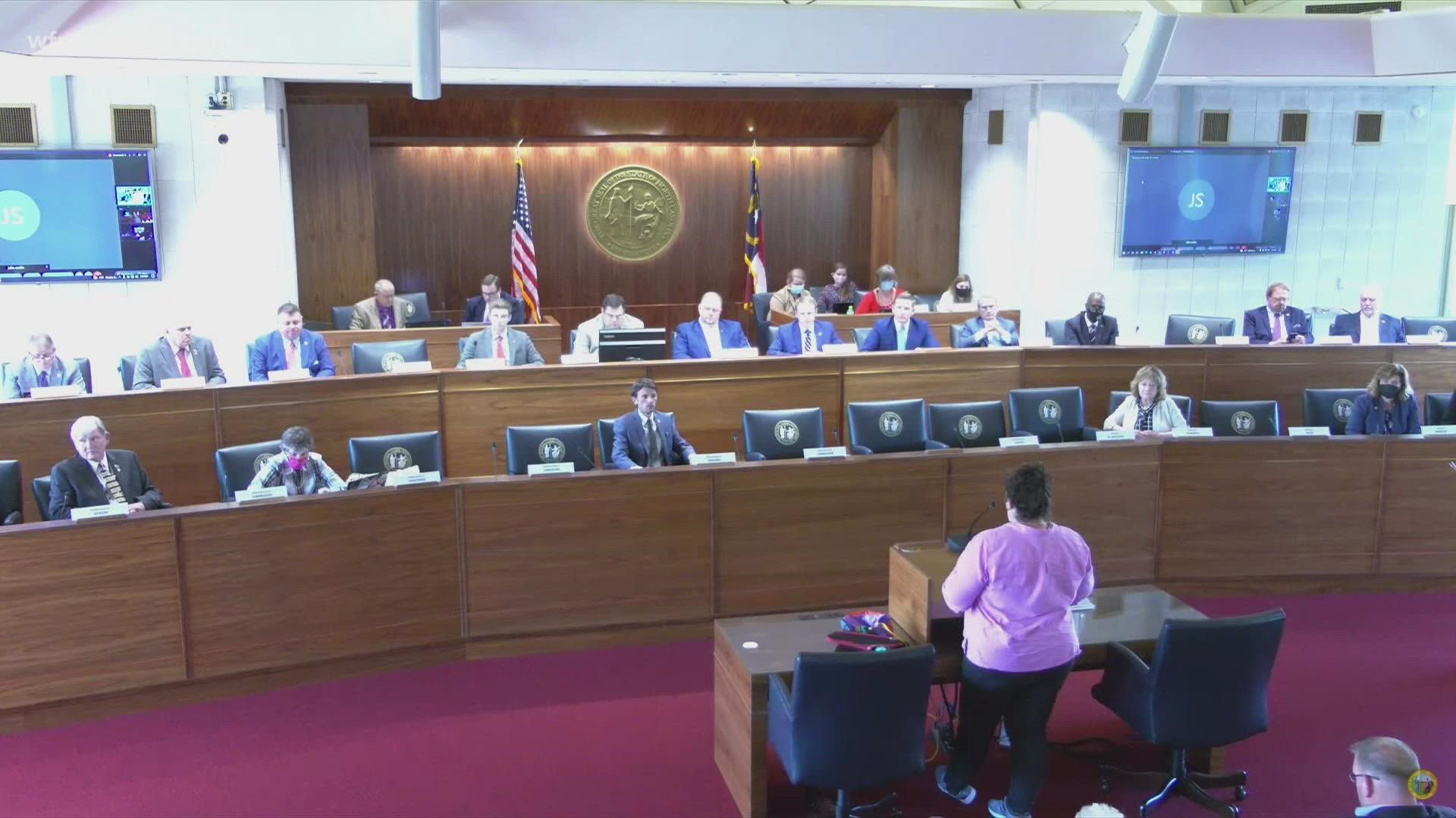
GREENSBORO, N.C. — Voters got their first chance Monday to weigh in on redistricting maps drawn by state lawmakers so far. Maps that if approved will be in place for the next decade until another census is done.
"In maps drawn by Republican members, Greensboro, Winston-Salem and High Point are split across multiple districts," said Kathy Wheeler from Greensboro. "Currently these three urban areas are in one district since we are a community under one name, the Triad."
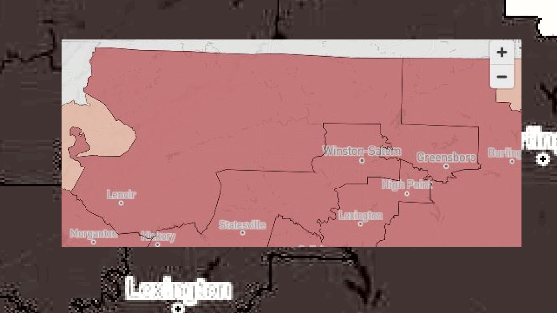
For example one of those maps takes Greensboro and by-passes nearby High Point and Winston-Salem -- instead wrapping around them and extending to the outskirts of Boone.

"The result will likely be Democratic votes formally together in one district being diluted by a larger number of Republicans," Wheeler said.
The Princeton Gerrymandering Project graded nine maps proposed so far. Three written by Democrats were graded an A for partisan fairness. But the majority, five of them, got Fs. All of the failing maps were proposed by Republicans.
"North Carolina is a 50-50 state and fair maps should reflect that," said voter Jenny Lynch. " If any of these maps are used, we will not have free elections in North Carolina because you have already predetermined the outcome. In Congress, we will have 9 to 12 Republicans out of 14."
State lawmakers hope to have the maps finalized by early November. That way the new may can be used starting with next year's elections.
For more context: Here's an old story highlighting years of court battles in the past over gerrymandering in North Carolina: