GREENSBORO, N.C. — As the Triad continues the cleanup of snow and ice, more winter weather could be on the way.
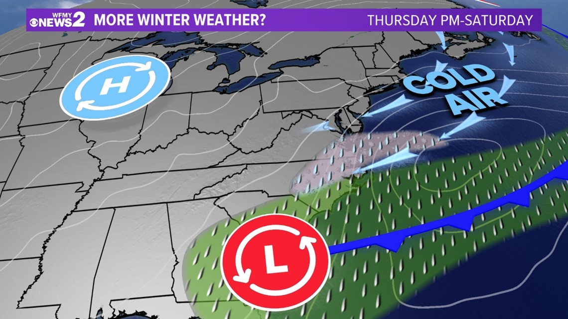
The WFMY News 2 Weather Team is closely watching two systems that bring us the chance for more snow and/or an icy mix starting Thursday night and ending on Saturday.
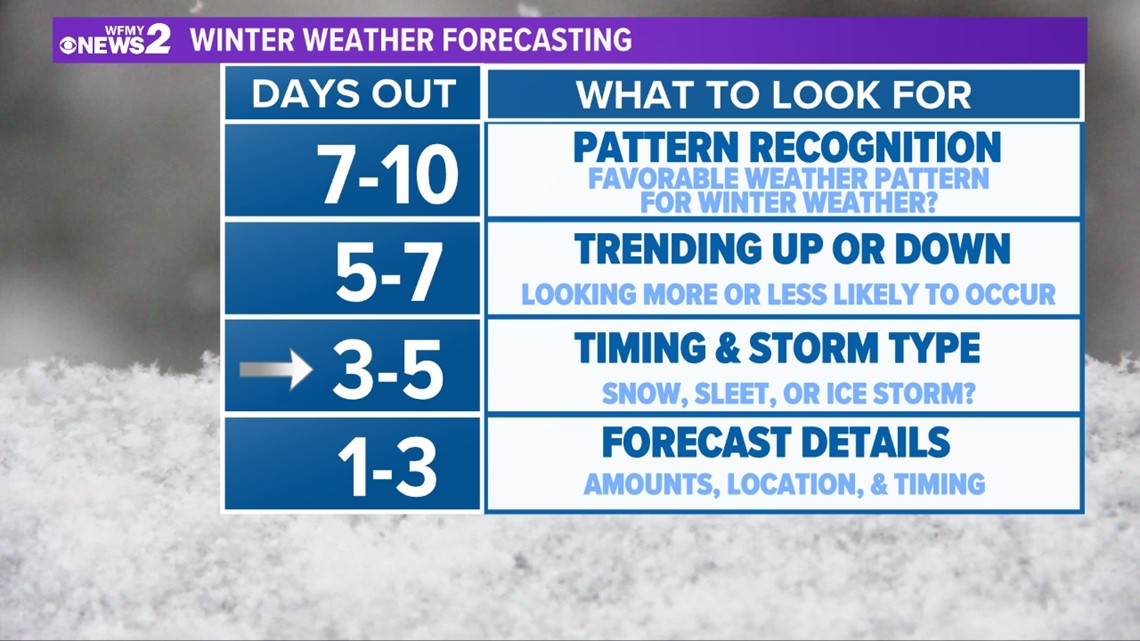
There are still a lot of unknowns, but here's what we're seeing:
THE SETUP
We have quiet, dry weather Tuesday and Wednesday, then we'll be getting slightly warmer.
A cold front moves our way on Thursday and stalls out. That front brings us rain for Thursday morning and midday.
Cold air rushes in late and the stalled front has a chance to turn into a rain/snow mix, then mainly snow for Thursday late afternoon and evening. This is not a sure thing.
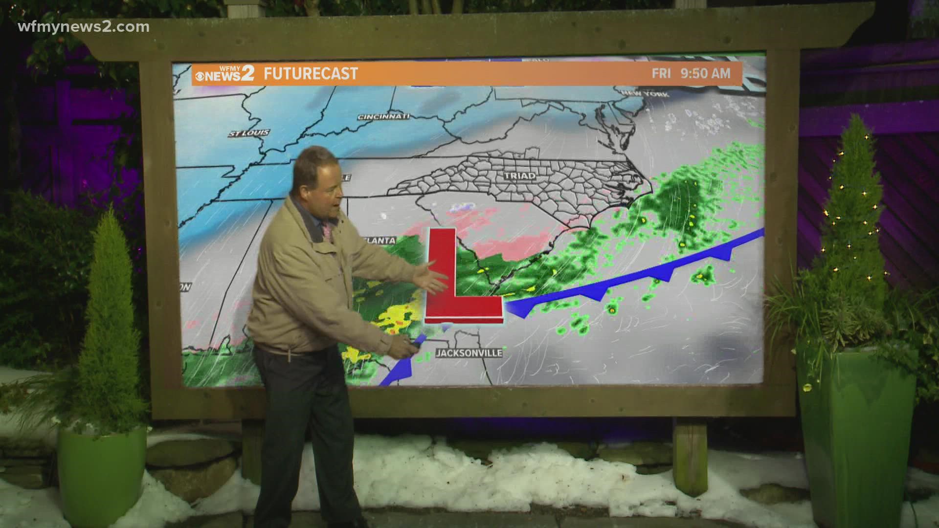
Behind this cold front, another stronger low-pressure area looks likely to form on Friday.
This second system has the potential to produce some widespread snow and ice for North Carolina. Exact locations and amounts are unclear.
It's looking likely that some accumulations will be possible in our area. We can't say for sure how much, or if it will be all snow or some ice mix, etc.


TIMING
- Dry Tuesday/Wednesday
- Rain Thursday AM/midday. Possible for a rain/snow mix for Thursday PM
- Snow and/or icy mix more likely for Friday and early Saturday
IMPACTS
- Messy evening commute is possible Thursday as rain changes to snow (but not a sure thing)
- Messy travel looking more likely Friday into Saturday from snowy or icy accumulations on roads
- Power issues aren't likely if we can stay snow, but would be possible if ice makes it this far north (unclear now)
HOW MUCH
- Not sure yet!
- Some substantial snow accumulations of at least a few inches would be possible


BOTTOM LINE
- We need to mentally prepare for more winter weather even though we haven't cleaned up from the last one yet
- Timeframe of concern is long, from Thursday night into Saturday
- Travel problems are likely

